
Fires Bring National Forest Public Safety Closures
From the Okanogan-Wenatchee National Forest
WENATCHEE--Okanogan-Wenatchee National Forest officials have implemented several large area closures, in addition to several road and trail closures, following a rash of lightning-caused fires sparked September 8 and 9.
Emergency closures are intended to ensure public and firefighter safety in areas hardest hit by the wildfires, many of which firefighters have not yet been able to contain. Forest Service officials implement closures only when necessary and remove them as soon as they deem an area safe from fires or other hazards, such as falling trees.
Trail, road and area closures prohibit entry, with the exception of firefighters, law enforcement officers and agency personnel. Violations are punishable by a fine of up to $5,000 and/or imprisonment for up to six months.
Hunters may find some of their hunting areas closed. Hunters are advised to check with Okanogan-Wenatchee N.F. ranger stations to get the latest information on closure areas.
Chelan, Entiat and Wenatchee River Ranger Districts
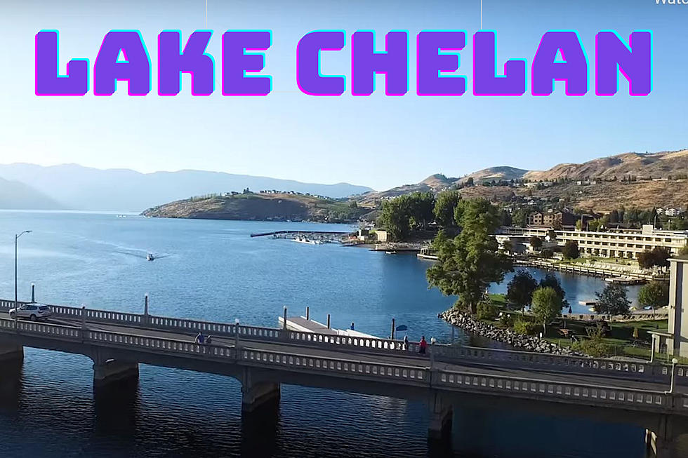
One large area closure encompasses the southern portion of the Chelan Ranger District, and the Entiat Ranger District north of the Mad River including portions of the Glacier Peak Wilderness Area and the Chiwawa drainage on the Wenatchee River Ranger District. This closure is necessitated by fires in the Basalt Creek, Pyramid Mountain and Klone Peak areas, which have the potential to cut off Entiat River Road access and threaten public safety in the area. The area closure will exclude boat-in national forest campgrounds along the Lake Chelan’s south lakeshore. These boat-in campgrounds will remain open.
Cle Elum Ranger District (509-852-1100)
The Table Mountain Area Closure lies south of Blewett Pass and east of U.S. Highway 97 extending from Blewett Pass, south along Highway 97 to the vicinity of the Liberty Cafe. It runs along the northern boundary of the Cle Elum Ranger District and Chelan/Kittitas county line. It then extends down the eastern boundary of the Cle Elum Ranger District and along the southern edge of the Cle Elum Ranger District on national forest lands north of the city of Ellensburg.
The Washington State Department of Natural Resources has closed the entire Naneum State Forest. There is no immediate threat; however, the closure is being implemented for public and firefighter safety. DNR personnel will be in the area issuing notifications.
There are trail and road closures in the Stafford Creek, Upper Teanaway Ridge, and Ingalls Creek areas located west of Blewett Pass and U.S. Highway 97. See the Okanogan-Wenatchee N.F. website or contact ranger districts for details.
Wenatchee River Ranger District (509-548-2550)
The Wenatchee River Ranger District has two other area closures that prohibit entry of any kind on national forest lands. One covers the area between U.S. Highway 97’ and No. 1, No. 2 and Pitcher Canyons, near Wenatchee. It includes popular recreation areas west of Wenatchee such as Mission Ridge Ski Area, Beehive Reservoir, and the Devil’s Gulch and Mission Ridge Trails.
The southern boundary of this closure coincides with the Table Mountain closure on the Cle Elum Ranger District. With this closure, all national forest lands east of U.S. Highway 97 in Kittitas and Chelan Counties are closed.
The other closure area includes Eightmile Road, Colchuck, Stuart, Eightmile, Caroline, and Trout lakes, and the Windy Pass portion of the Enchantment area in the Alpine Lakes Wilderness due to a fire burning Many Enchantment area overnight camping permits are cancelled. However, the Enchantment Basin itself remains open at this time with access via Snow Creek Trail. Please call the Wenatchee River Ranger Station for more information on which permits are cancelled.
Methow Valley Ranger District (509-996-4000)
The Buckhorn Mountain Fire has forced the closure of portions of the Methow Valley Ranger District’s North Fork Gold Creek Road 4340 and South Fork Gold Creek Road 4330. Both roads are located a few miles south of the town of Carlton, and just west of State Highway 153.
The Leecher Fire has also forced closure of some roads located east of the Methow Valley and about four miles southwest of Twisp. These roads include Benson Creek Road (Forest Service Road 4150) and South Summit Road 4100.
For additional information about closures, please contact the local ranger district office, or check the Okanogan-Wenatchee forest website or the Inciweb fire information website for the Okanogan Fire Complex, Wenatchee Fire Complex, Yakima Fire Complex, and Table Mountain Complex (www.inciweb.org).
More From News Talk KIT